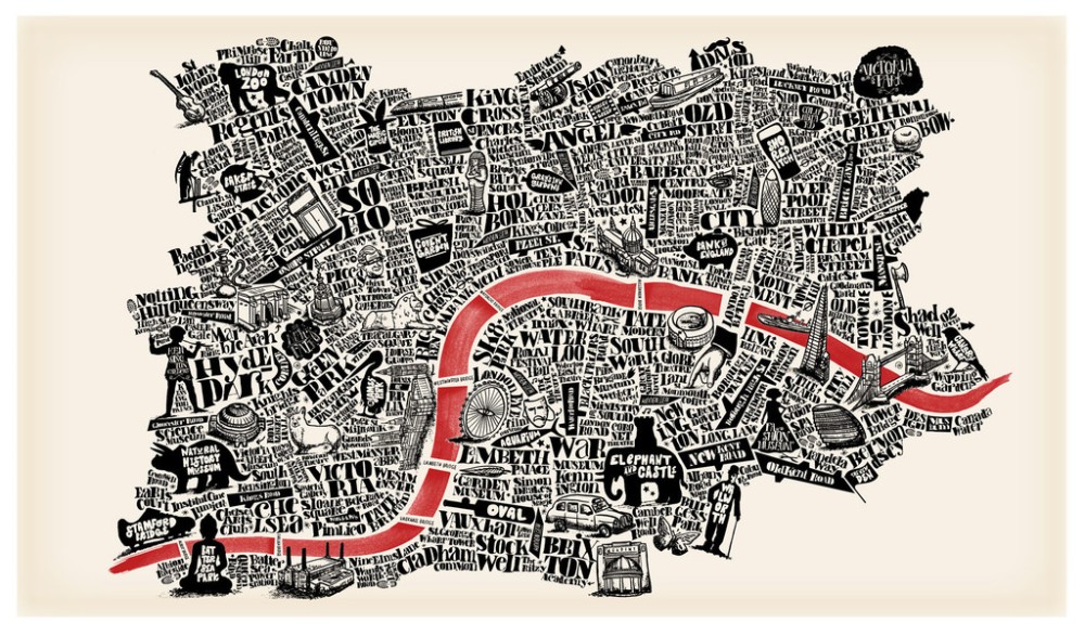
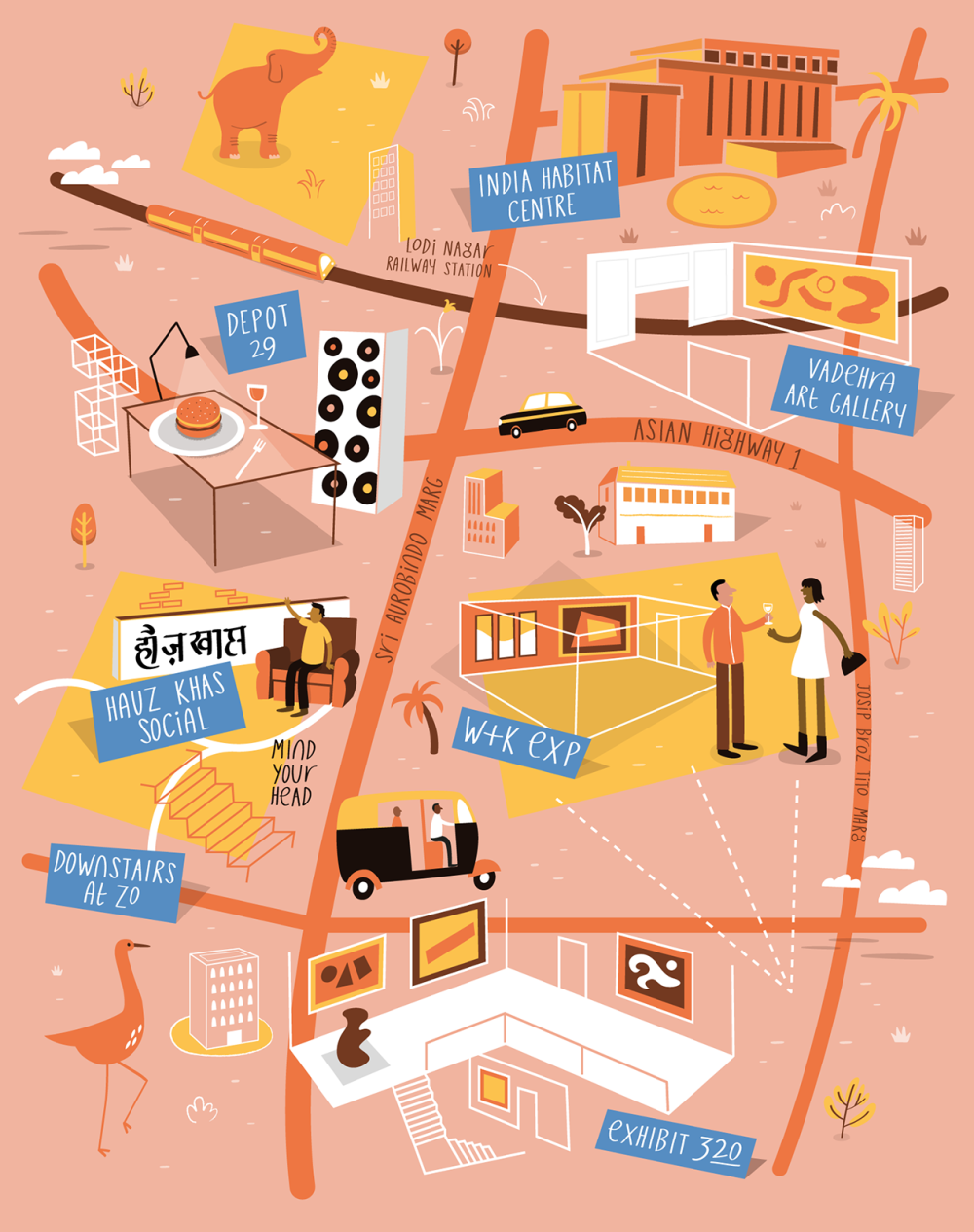
I have decided that I really need to look into illustrated maps and how they work, e.g do they have something in common that could help inform my map within my book. For my piece, I am aiming to have sort of map but to walk through the woodlands map throughout the seasons, which is why I think it is so important to look at others work to see what worked well and what wasn’t so well.
Although these two pieces are very differently styled maps I think that there is something important to take away from both of them for example, the top image is very typographic based BUT does have the narrative, this is the red river because it makes us visually read the image from one side to the other. perhaps I could have something like this running throughout my book, like a path that the audience follows. Although I do like the two tone contrast in this piece for my piece I want it to be full of colour which is why I have also looked at a much more colourful piece by Tom Woolley, this I feel has a very different approach to the image above it because everything is much more sparsely spread out and not so busy, which does emphasis on the illustrations themselves, but does include roads with cars travelling along them perhaps making the audience follow the cars, e.g stuff is happening in the image.
Overall these have been helpful to me but I think that I might need to look into how I would make the book so that it can be seen as traveling through a map.